


Over 20 years of experience in land, aerial and hydrographic surveys encompassing all conventional and state of the art technology has enriched the technical and managerial capabilities by working in 10 countries in Russian ,central & south-East Asian and Africa in addition to the major domestic projects carried out in India. We have highly experienced and technically qualified surveyors and engineers to collect, process and fine tune the data and shape the deliverables of the project by adopting latest high end and timely calibrated survey equipment with accessories and trusted software in every discipline for speedy delivery

Safety
Continual improvement and dedication to the philosophy of “Zero Harm” to our people, our equipment and the environment

People
We understand that our people and their passion are the key to our success, now and into the future.

CUSTOMER SERVICE
Provide the best customer service experience through responsive and actions.

INNOVATION
Continuous development of innovative solutions that adds value to our the client’s needs by starting with the end in mind.

INTEGRITY
Act with integrity, respect and professionalism within our own team and to the client.
Geodetic Control Network survey.
Until fairly recently, the detailed visual inspection of tall or potentially dangerous ...
Road Survey.
There are many variations of passages of Lorem Ipsum available majority have suffered.
Railway Survey.
Surveying within the railway environment requires specialist techniques as the modern railway is a dangerous...
Drone survey.
Until fairly recently, the detailed visual inspection of tall or potentially dangerous structures and inaccessible areas...
Mobile Lidar Scanning.
Surveying within the railway environment requires specialist techniques as the modern railway.
Hydrography Survey
We are well-appointed to carry out in-shore hydrographic surveys of reservoirs, lakes, canals, rivers and estuaries...
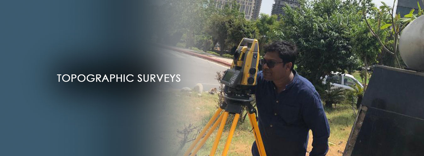
Topography Survey In UP
Project Topography Survey include surveying all above ground features ...

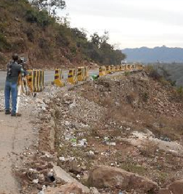
Realignment Survey In Maynmar
Project Topography Survey include surveying all above ground features ...
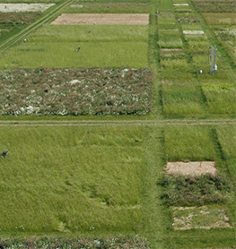
GIS Mapping and Topographic Survey
Project Realignment Survey include surveying all above ground features ...
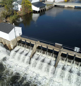
Dam Survey in Purulia District,W.B.
Projects Check Dam Survey in Purulia District,W.B(Client-Government of West Bengal ...